Weed Patch Hill
Summit in Indiana, U.S.

Weed Patch Hill
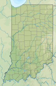
Location in Indiana
Weed Patch Hill, also known as Weed Patch Knob (1,058 feet or 322 m), is the third highest named summit in the U.S. state of Indiana.[3] Located in Washington Township and Brown County State Park, it is the highest point in the Knobstone Escarpment.
In Indiana, only Hoosier Hill (1,257 feet or 383 m) in Wayne County and Sand Hill (1,076 feet or 328 m) in Noble County are higher.
Weed Patch Hill was so named by an early settler after a tornado had flattened a stand of trees and weeds grew in its place.[4]
References
- ^ "Weed Patch Hill, Indiana". Peakbagger.com. Retrieved 2014-03-15.
- ^ "Weed Patch Hill". Geographic Names Information System. United States Geological Survey, United States Department of the Interior. Retrieved 2014-03-15.
- ^ "Weed Patch Hill". Peakery.com. Retrieved 4 December 2015.
- ^ Indiana. Geological Survey (1875). Annual Report of the Geological Survey of Indiana, Made During the Year ... Sentinel Company. p. 102.

- v
- t
- e


