Taipalsaari
You can help expand this article with text translated from the corresponding article in Finnish. (June 2023) Click [show] for important translation instructions.
- Machine translation, like DeepL or Google Translate, is a useful starting point for translations, but translators must revise errors as necessary and confirm that the translation is accurate, rather than simply copy-pasting machine-translated text into the English Wikipedia.
- Do not translate text that appears unreliable or low-quality. If possible, verify the text with references provided in the foreign-language article.
- You must provide copyright attribution in the edit summary accompanying your translation by providing an interlanguage link to the source of your translation. A model attribution edit summary is
Content in this edit is translated from the existing Finnish Wikipedia article at [[:fi:Taipalsaari]]; see its history for attribution. - You may also add the template
{{Translated|fi|Taipalsaari}}to the talk page. - For more guidance, see Wikipedia:Translation.
Municipality in South Karelia, Finland

Coat of arms
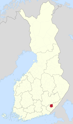
Location of Taipalsaari in Finland
 Finland
 (2018-01-01)[1]
(2023-12-31)[2]
Taipalsaari is a municipality of Finland. It is located in the province of Southern Finland and is part of the South Karelia region. The municipality has a population of 4,625 (31 December 2023)[2] and covers an area of 761.94 square kilometres (294.19 sq mi) of which 416.88 km2 (160.96 sq mi) is water.[1] The population density is 13.42 inhabitants per square kilometre (34.8/sq mi). Neighbouring municipalities are Lappeenranta, Lemi, Puumala, Ruokolahti and Savitaipale. The municipality is unilingually Finnish.
The average temperature during the summer months on Taipalsaari is the highest among Finnish municipalities.[6]
References
- ^ a b "Area of Finnish Municipalities 1.1.2018" (PDF). National Land Survey of Finland. Retrieved 30 January 2018.
- ^ a b "Population growth biggest in nearly 70 years". Population structure. Statistics Finland. 2024-04-26. ISSN 1797-5395. Retrieved 2024-04-29.
- ^ "Population growth biggest in nearly 70 years". Population structure. Statistics Finland. 2024-04-26. ISSN 1797-5395. Retrieved 2024-04-29.
- ^ "Population according to age (1-year) and sex by area and the regional division of each statistical reference year, 2003–2020". StatFin. Statistics Finland. Retrieved 2 May 2021.
- ^ a b "Luettelo kuntien ja seurakuntien tuloveroprosenteista vuonna 2023". Tax Administration of Finland. 14 November 2022. Retrieved 7 May 2023.
- ^ "Vietätkö sinä suvesi Suomen lämpimimmässä kunnassa? – Katso tilastot" (in Finnish). MTV Uutiset. Retrieved September 15, 2021.
External links
![]() Media related to Taipalsaari at Wikimedia Commons
Media related to Taipalsaari at Wikimedia Commons
- Municipality of Taipalsaari – Official website (in Finnish)
- GoTaipalsaari – Tourist information
- goSaimaa.com – travel information
Places adjacent to Taipalsaari | ||||||||||||||||
|---|---|---|---|---|---|---|---|---|---|---|---|---|---|---|---|---|
| ||||||||||||||||


- v
- t
- e
- Imatra
- Lappeenranta
- Lemi
- Luumäki
- Parikkala
- Rautjärvi
- Ruokolahti
- Savitaipale
- Taipalsaari

Authority control databases | |
|---|---|
| National |
|
| Geographic |
|
 | This Southern Finland location article is a stub. You can help Wikipedia by expanding it. |
- v
- t
- e


