Piedade, São Paulo
Municipality in Southeast Brazil, Brazil

Flag

Coat of arms
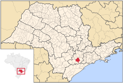
Location in São Paulo state
 Brazil
 (2020 [1])
Piedade is a municipality in the state of São Paulo in Brazil. It is part of the Metropolitan Region of Sorocaba.[2] The population is 55,542 (2020 est.) in an area of 746.87 km2 (288.37 sq mi).[3] The elevation is 781 m (2,562 ft).
The municipality contains part of the 26,250 hectares (64,900 acres) Jurupará State Park, created in 1992.[4]
Neighboring Cities
- Ibiúna
- Pilar do Sul
- Salto de Pirapora
- Tapiraí
- Votorantim
References
- ^ IBGE 2020
- ^ "Governo do Estado de São Paulo, Lei Complementar nº 1.241, de 8 de maio de 2014". Archived from the original on 18 October 2014. Retrieved 2015-09-29.
{{cite web}}: CS1 maint: bot: original URL status unknown (link) - ^ Instituto Brasileiro de Geografia e Estatística
- ^ Leonel, Cristiane; Passold, Anna Julia; Pasquini, Bruna Bianca (8 July 2010), Parque Estadual do Jurupará Plano de Manejo - Resumo Executivo (PDF) (in Portuguese), São Paulo: Ekos Brasil, Fundação Florestal, archived from the original (PDF) on 2017-02-06, retrieved 2017-02-05
- v
- t
- e


