Naul Hills
Hills in County Dublin, Ireland

Naul Hills
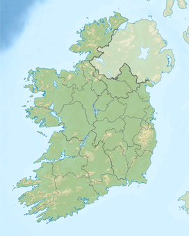
County Dublin, Ireland
The Naul Hills, or Man-of-War Hills [2] are low-lying hills in north County Dublin, Ireland, close to the village of Naul, formerly called The Naul,[3] (Irish: An Aill, meaning 'the cliff'). They lie beside the County Meath border, 30 kilometres north of Dublin City (17 km north of the airport), 16 km north-northwest of Swords, and 8 km southwest of Balbriggan.[4]

Typical hill elevations run between 140 and 150 metres, with the highest point in the area being the 176m Knockbrack (Irish: An Cnoc Breac, meaning 'the speckled hill').[1][5] Limestone quarrying has been carried out in the hills, and the London Encyclopaedia (1829) remarked, "there are coals at Naul...but the coal vein is not worked."[6]
As a result of the COVID-19 pandemic, the temporary reduction in emissions as well as a period of sustained fine weather meant that Knockbrack was visible across the Irish Sea from Anglezarke, Lancashire for a period in May 2020.[7]

References
- ^ a b Ordnance Survey map of Naul area Archived 2012-08-29 at the Wayback Machine Ordnance Survey Ireland. Retrieved 2010-08-02.
- ^ The Neighbourhood of Dublin by Weston St. John Joyce (3rd ed. 1920). Chapter X: Rathfarnham, Whitechurch, Kelly's Glen and Kilmashogue Mountain.
- ^ "Entry for Naul in A Topographical Dictionary of Ireland by Samuel Lewis, 1837". Retrieved 27 November 2009.
- ^ "Fingal County Council, 2002". Archived from the original on 22 July 2011. Retrieved 27 November 2009.
- ^ Knockbrack Placenames Database of Ireland. Retrieved: 2011-12-29.
- ^ The London Encyclopaedia, Vol. VII, London, T. Tegg & Son, 1829. Retrieved: 2010-08-12
- ^ "Can you see the Republic of Ireland from England?". anglezarke.net. Retrieved 3 February 2023.
See also
- Naul, Dublin
- List of mountains in Ireland
- v
- t
- e
Mountains and hills of Leinster

- Annagh Hill
- Barnaslingan
- Bray Head
- Benleagh
- Camaderry
- Camenabologue
- Carrick Mountain
- Carrickgollogan
- Carrigvore
- Cloghernagh
- Conavalla
- Corrigasleggaun
- Croaghanmoira
- Croghan Mountain
- Cupidstown Hill
- Djouce
- Duff Hill
- Gravale
- Great Sugar Loaf
- Keadeen Mountain
- Kilmashogue
- Kippure
- Larch Hill
- Little Sugar Loaf
- Lobawn
- Lugduff
- Luggala
- Lugnaquilla
- Maulin
- Moanbane
- Montpelier Hill
- Mullacor
- Mullaghcleevaun
- Prince William's Seat
- Scarr
- Seefingan
- Silsean
- Slievegad
- Slievemaan
- Sugarloaf (West Wicklow)
- Table Mountain
- Tibradden Mountain
- Tonduff
- Tonelagee
- Turlough Hill
- Two Rock and Three Rock Mountain
- War Hill
 | This geographical article about the Dublin area is a stub. You can help Wikipedia by expanding it. |
- v
- t
- e


