Bowland Forest High milestone
Historic boundary marker in Lancashire, England


Bowland Forest High marker
Location in the Forest of Bowland
Show map of the Forest of Bowland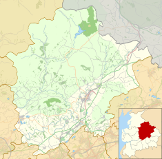
Bowland Forest High marker
Location in Ribble Valley Borough
Show map of the Borough of Ribble Valley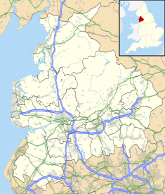
Bowland Forest High marker
Location in Lancashire
Show map of Lancashire
Bowland Forest High marker
Location in England
Show map of EnglandThe Bowland Forest High milestone is an historic milestone marker in the English parish of Bowland Forest High, in the Trough of Bowland, Lancashire. A Grade II listed structure, erected in 1739, the milestone is in sandstone and has a rectangular plan and a shaped top. It is inscribed with the distances in miles, on one face to Lancaster and to Clitheroe (both in archaic spelling), and on the other face to Slaidburn and to Hornby.[1]
Inscriptions
- West face: "To Lankster 11:MS", which translates to "To Lancaster, 11 miles"
- South face: "To Clitherc 7:MS" ("To Clitheroe, 7 miles")
- East face: "To Slaidburn 3:MS"
- North face: "To Hornby 10:MS"
See also
References
Notes
- Historic England, "Milestone at SL 657 499, approximately 150 metres southeast of school, Bowland Forest High (1362243)", National Heritage List for England, retrieved 26 July 2015
- v
- t
- e
Buildings and structures in the Borough of Ribble Valley
| |
| Places of worship |
|
|---|---|
| Places of worship |
|
|---|---|
| |
| Places of worship |
|
|---|---|
monuments
| Places of worship |
|
|---|---|
- Mills in Clitheroe
- Listed in Aighton, Bailey & Chaigley
- Balderstone
- Bashall Eaves
- Billington & Langho
- Bolton-by-Bowland
- Bowland-with-Leagram
- Bowland Forest High
- Bowland Forest Low
- Chatburn
- Chipping
- Clayton-le-Dale
- Clitheroe
- Downham
- Dutton
- Easington
- Gisburn
- Gisburn Forest
- Great Mitton
- Grindleton
- Horton
- Hothersall
- Little Mitton
- Longridge
- Mearley
- Mellor
- Middop
- Newsholme
- Newton
- Osbaldeston
- Paythorne
- Pendleton
- Read
- Ribchester
- Rimington
- Sabden
- Salesbury
- Sawley
- Simonstone
- Slaidburn
- Thornley-with-Wheatley
- Twiston
- Waddington
- West Bradford
- Whalley
- Wiswell
- Worston
 | This article about a Lancashire building or structure is a stub. You can help Wikipedia by expanding it. |
- v
- t
- e


